The Challenges of Sewer Line Locating with Plumb Express
Utility locating is a crucial task that requires precision and expertise, particularly when it comes to connecting homes to county sewer systems. A recent video featuring Plumb Express provides a compelling look into the intricacies involved in locating a sewer lateral line. Here’s a breakdown of the process, the obstacles faced, and the insights gained from this endeavor.
Step-by-Step Sewer Line Locating
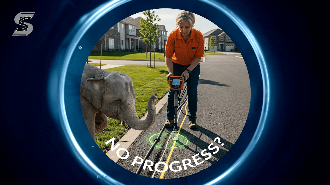
The video begins with an update on the progress of locating the sewer lateral line. The initial task was to identify the saddle connection in the street sewer line, with the county providing a green dot on the map to indicate its position, supposedly 15 feet from the manhole. The team began digging at this point, which was inconveniently located in the middle of the driveway.
Using Technology for Verification
To ensure accuracy, the team employed a camera to verify the lateral connection line. This step proved crucial, revealing that the actual connection was located at a white dot, approximately seven feet off from the county's map indication. This discovery underscored the importance of using technology to verify locations rather than relying solely on provided maps.
Adjusting the Approach
Armed with the accurate location, the team set up to come at a 90-degree angle off the newly verified sewer line. This adjustment was essential to align properly with the existing sewer lateral line, marked right around a bucket in the video.
Lessons Learned: Trust but Verify
One of the key takeaways from this project is the importance of verifying information, even when it comes from local municipalities. The team spent two days digging based on the county’s map, only to find the actual location differed. This highlights a valuable lesson for anyone involved in utility locating: always seek a second opinion and verify the data before proceeding.
Final Thoughts
The video featuring Plumb Express serves as an informative case study in utility right-of-way locating. It highlights the challenges of relying on provided maps and the necessity of using verification tools to ensure accuracy. For anyone undertaking similar projects, the message is clear: trust the maps, but always verify with your tools and expertise. This approach not only saves time and effort but also ensures the job is done correctly and efficiently.